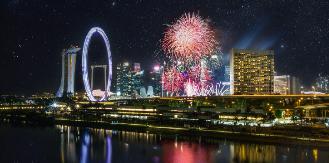
Crowd@Marina Bay provides live crowd levels and area closures to help visitors navigate the festivities
For those planning to view the National Day fireworks around Marina Bay, the Singapore Police Force (SPF) has launched a new website, Crowd@Marina Bay, to assist visitors in navigating the crowds. The site offers a live map of the Marina Bay area, providing real-time updates on crowd levels and area closures at various fireworks viewing spots.
The website’s colour-coded system makes it easy to assess crowd density: red indicates closed areas, orange represents crowded zones (70-80% capacity), yellow indicates moderate crowds (50-69%), and green shows less crowded areas (under 50%). Popular locations such as the One Fullerton waterfront, Esplanade waterfront, Marina Bay Sands waterfront, and The Promontory waterfront will be closed when full capacity is reached.
SPF also issued a reminder on July 29, warning of large crowds expected around Marina Bay. They advised the public to remain vigilant and safeguard their belongings, and to arrive early for security checks. Attendees are encouraged to limit personal belongings, as containers larger than 100ml, including canned drinks and other items, will not be allowed into the venue.
In addition to crowd management, SPF announced several road closures and traffic disruptions over the National Day weekend, particularly around key locations like Raffles Avenue, Temasek Avenue, and Marina Boulevard. Motorists should expect delays along major roads including Nicoll Highway and Robinson Road, and should plan accordingly.